October 6, 7, 2024
The journey resumes on a rainy morning in Conway, New Hampshire and traverses the famous Kancamagus Scenic Byway for 35 miles. The highway began to be built in 1837 to connect Conway and Passaconway 12 miles away. The CCC (Civilian Conservation Corp) in the 1930s, started working on the construction of a road but was only finally completed to the west all the way to Lincoln in 1959 for the first through traffic.
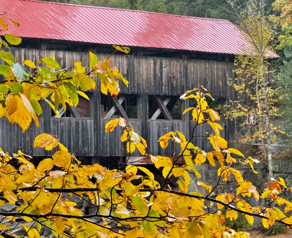
The first stop is at the Albany Covered Bridge, which was constructed in 1858. However soon after a storm flooded the Swift River and swept away the bridge. It was rebuilt and remained usable for over 100 years before renovation in 1970.


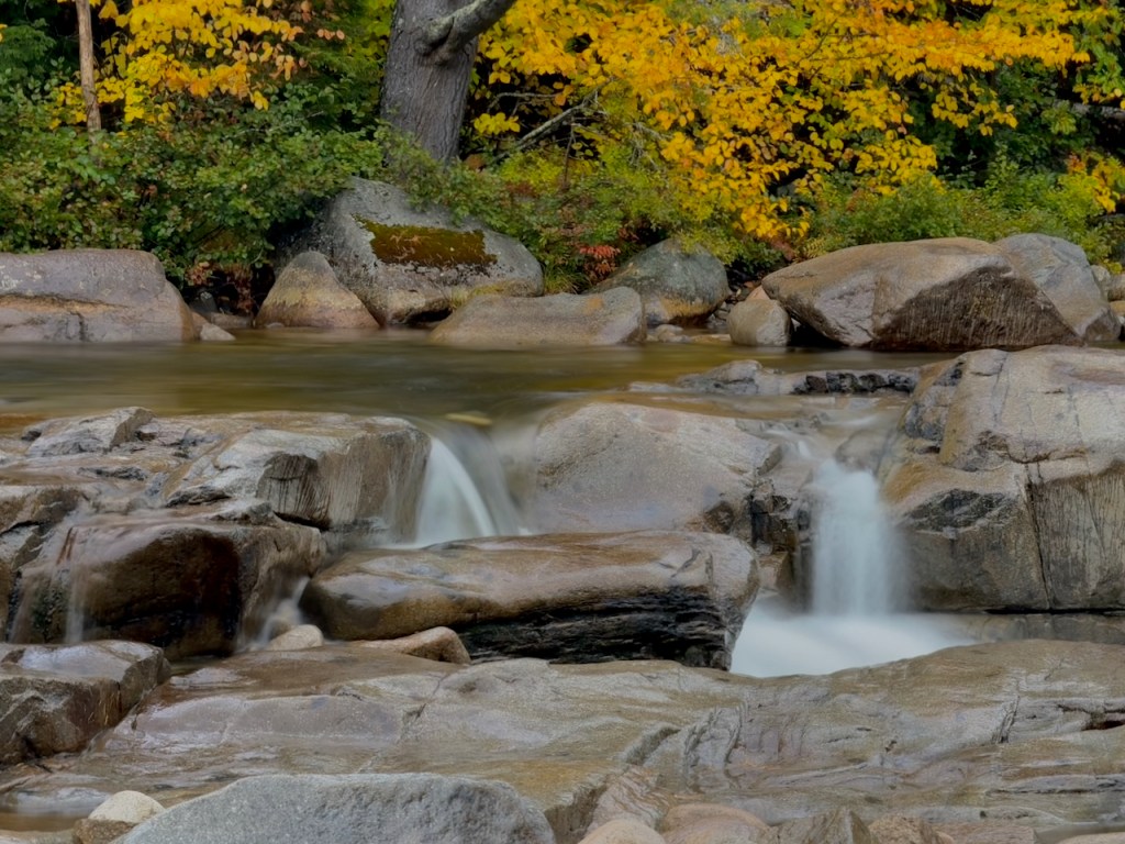
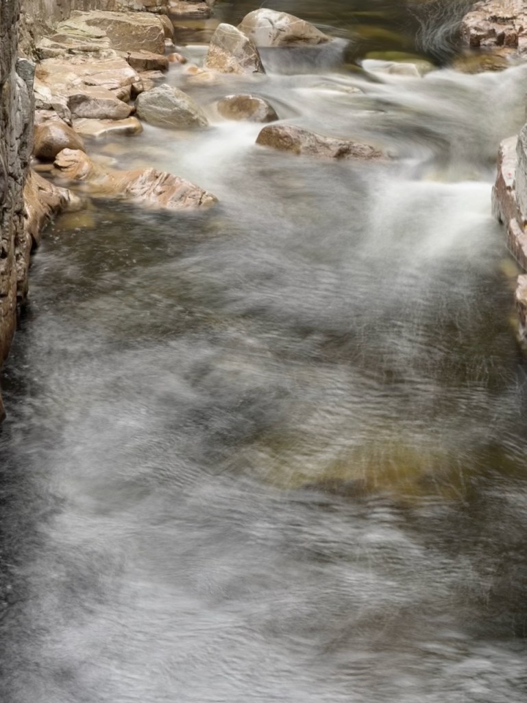
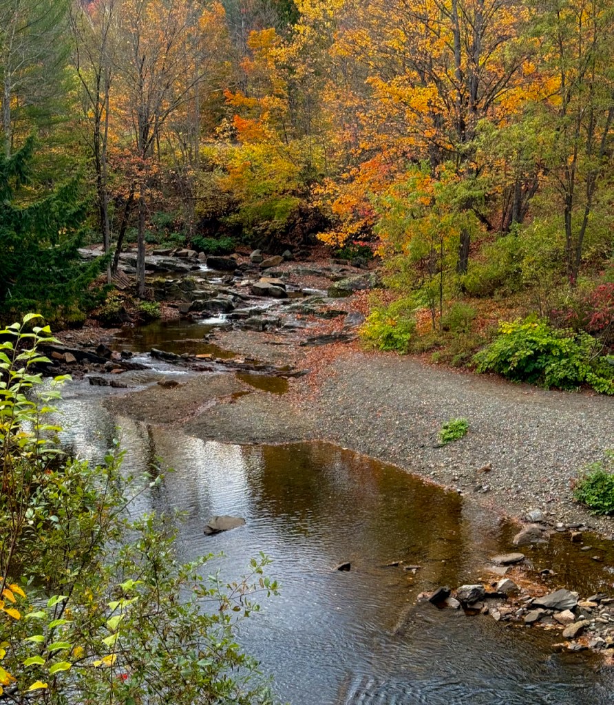
The next stop is Lower Falls. I liked the very little waterfall between boulders in the first photo.


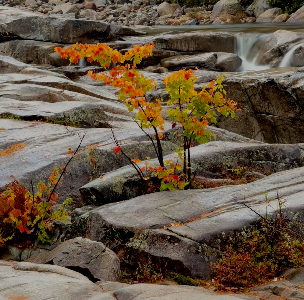
I liked the red and yellow trees side by side. On the way back on the pathway I noticed the little tree struggling to survive amongst the boulders.


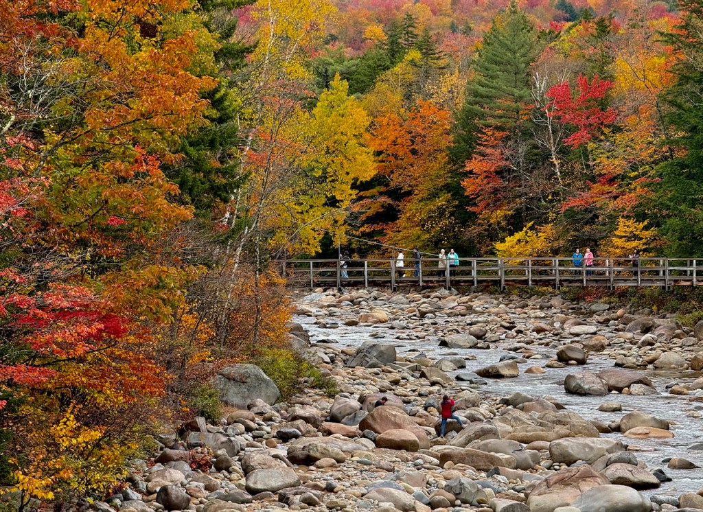
Another collection of shallow waterfalls is at the Rocky Gorge scenic area. There were people everywhere walking on the rocks.


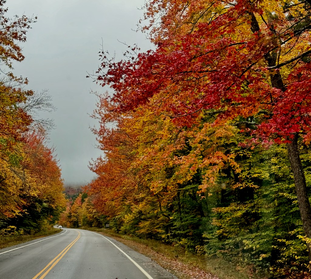
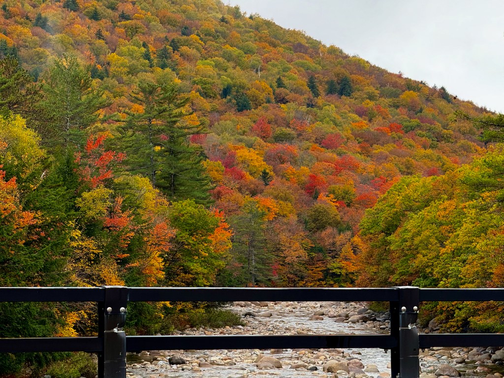
This what it looked like driving down the road with beautiful color on both sides of the road.

I think the next photos are at the Sugarloaf Overlook.
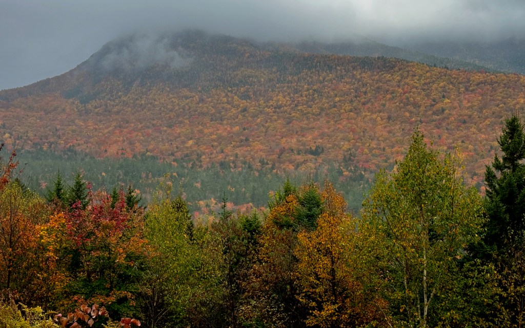

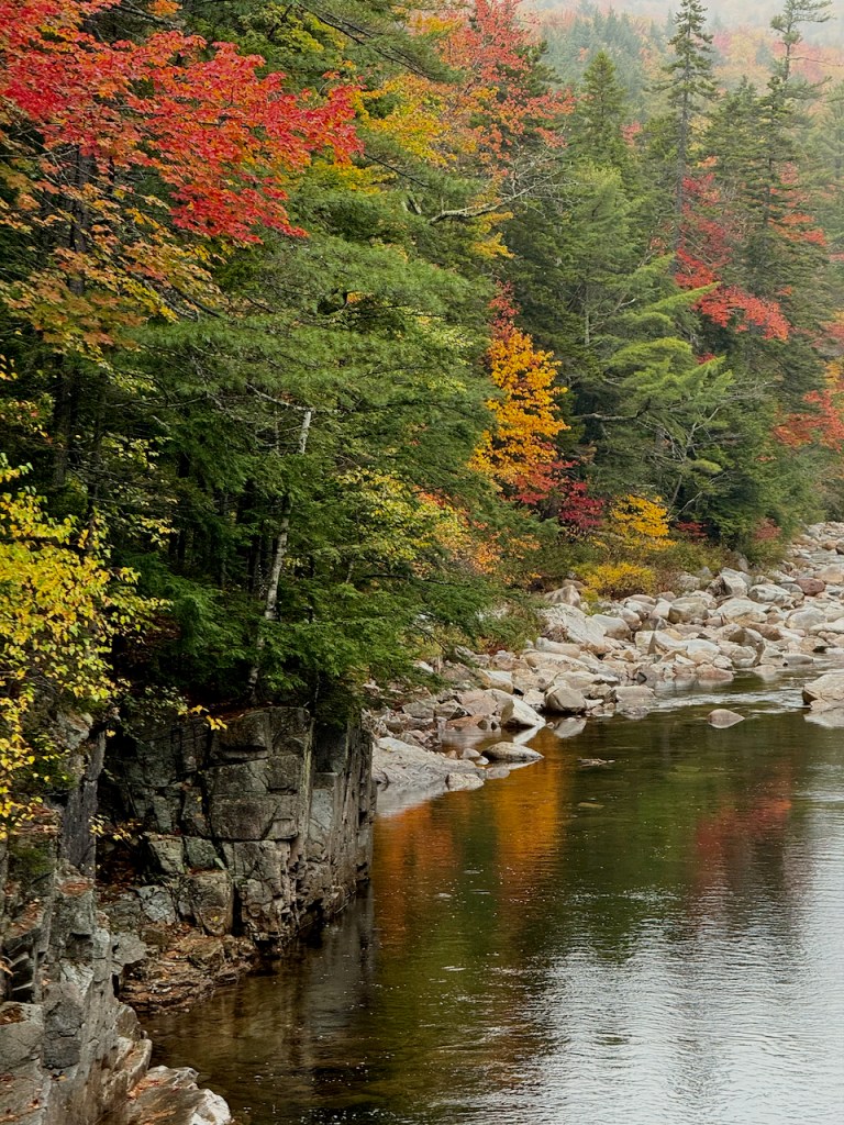
There were quite a few other lookouts and I stopped at most of them. The day finally began to clear in early afternoon.

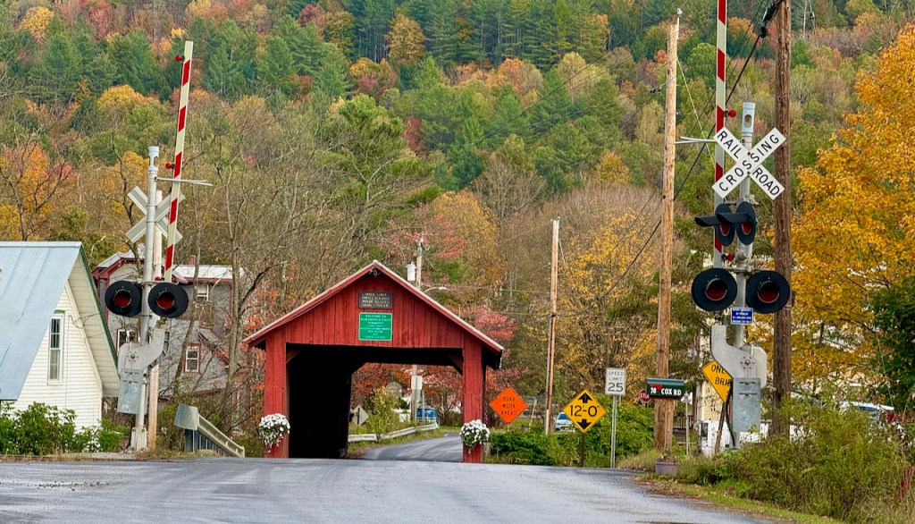
To round out the day, I drove to Northfield, VT on Route 12 to find a series of covered bridges. The first bridge is called the Station Covered bridge built in 1872 and carries Cox Brook Road across the Dog River. This bridge is also called the Northfield Falls Covered Bridge.


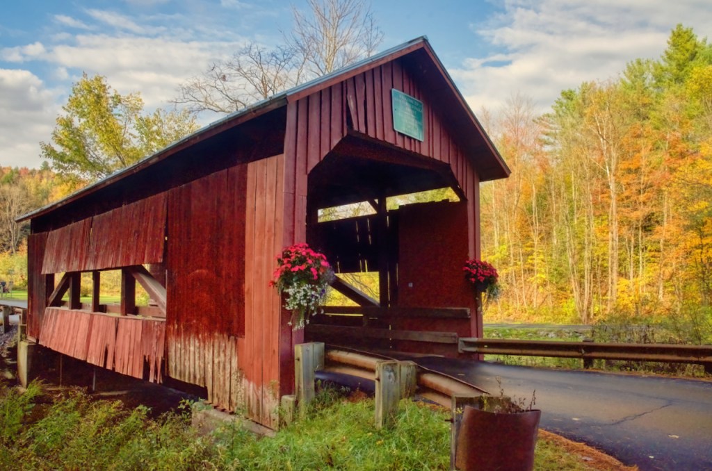
The next bridge is the Lower Cox Brook Covered Bridge, was built in 1872 and spans the Cox brook. It is the middle bridge of three within a fourth mile of each other. In fact, in a look back you can see the Station Bridge. The bridge is now supported by 4 steel I-beams as are most of the covered bridges today.


The final bridge in this series is the Upper Cox bridge over Cox Brook. The siding is open in the middle and at the top. This bridge appeared to be damaged by flooding caused by Hurricane Irene in 2011. A tree was thrust up through the floor into the roof and the road was washed out. However the bridge was closed for only two weeks and suffered only minor damage.


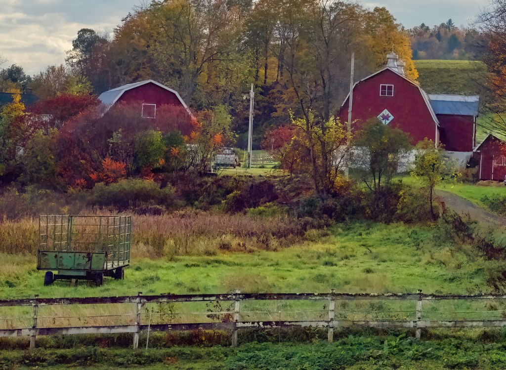
There were two nice red barns quite near one of the bridges.


Charles
Your photography keeps getting better!!
I sure wish I had been on that trip with you. You must do fantastic research because you are certainly getting to VERY photogenic spots and then making the most of those spots with your camera (or iPhone).
Personally, I have dumped my camera and am only using my phone. I think I get good results but who knows what others think.
Mel
I never get tired of the covered bridges! Your pictures are always stunning, Charles.
My two favorites in this group
First the Picture following “next stop Lower Falls” – Can’t really explain why. Perhaps the contrast between rocks (one very large and smaller ones) the water surface (hard versus soft perhaps?)
Second the lower left picture beneath “quite a few other lookouts” – beautiful blue sky with white clouds, reflective water surface surrounded by soft forest contrasting with rocky soil.
Both are very subjective choices, but … that’s the right of each viewer, correct?
Wow Charlie!! I LOVE all your photos! All the colors of fall are beautiful! I love all the litt