The photos are best viewed on a pad or computer screen.
July 15-17, 2024
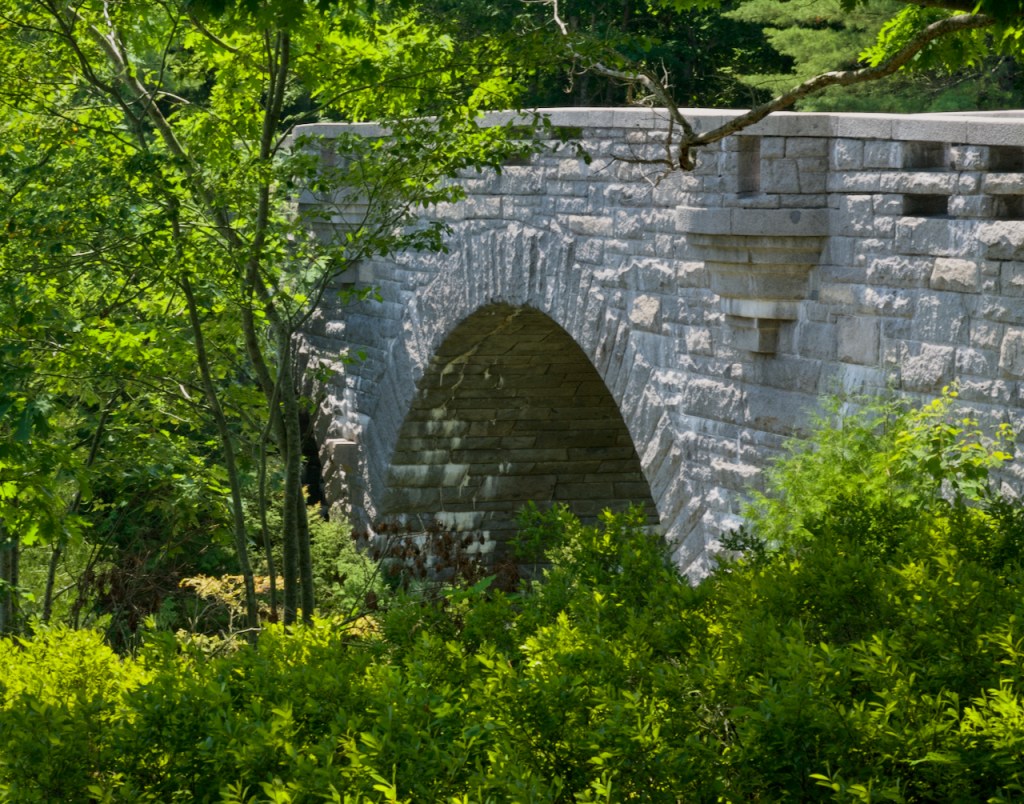
The final part of the trip was to spend three days exploring Acadia NP after doing much research on the best places to visit. The first day plan is to explore the western side of Mount Desert Island. The first stop is at Duck Brook and the nearby carriage road bridge.
“Travel With The Landscape – Forty-five miles of rustic carriage roads, the gift of philanthropist John D. Rockefeller Jr. and family, weave around the mountains and valleys of Acadia National Park. Rockefeller, a skilled horseman, wanted to travel on motor-free byways via horse and carriage into the heart of Mount Desert Island. His construction efforts from 1913 to 1940 resulted in roads with sweeping vistas and close-up views of the landscape. The roads were built to preserve the line of hillsides and save trees, align with the contours of the lands, and take advantage of scenic views. Approximately 16 feet wide, the carriage roads are an example of broken-stone roads commonly used at the turn of the 20th century. Gate lodges act as impressive welcomes to the carriage road system, stone-faced bridges span streams, waterfalls, motor roads, and cliff sides. Granite coping stones used as guardrails line the roads, affectionately called “Rockefeller’s teeth.””
A main activity for a lot of people is to hike and bike on these carriage roads.

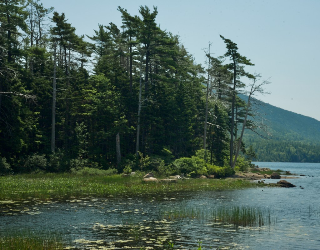
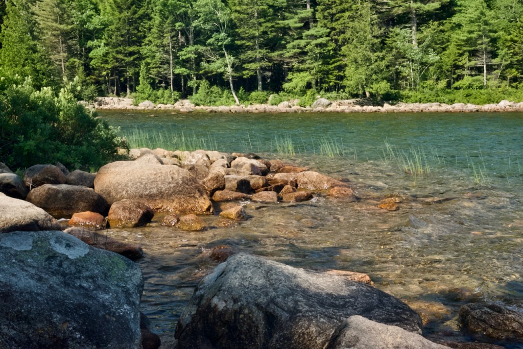
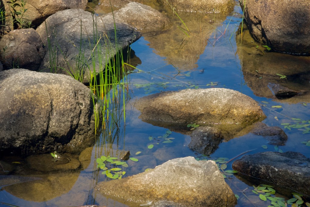
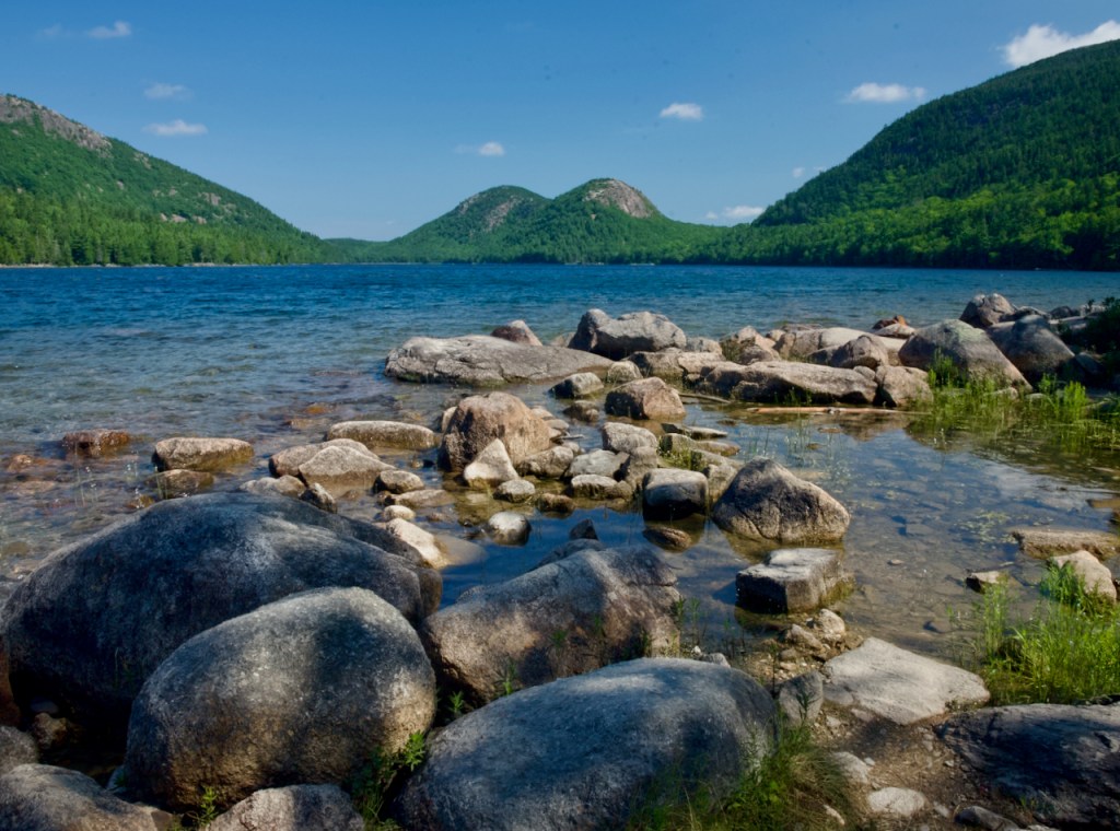
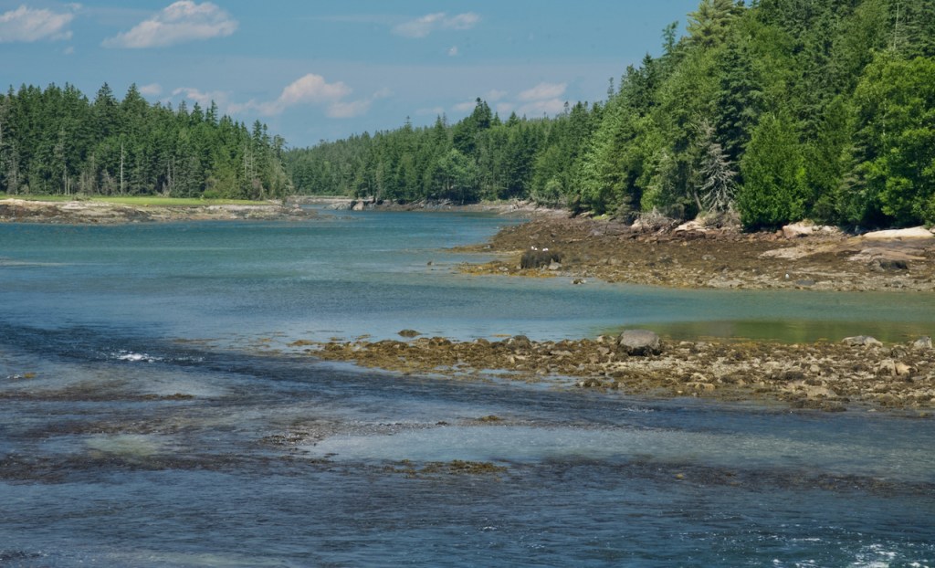
The next stops are Eagle Lake and Echo Lake.


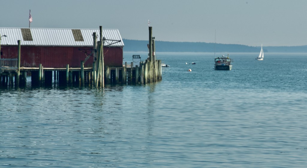
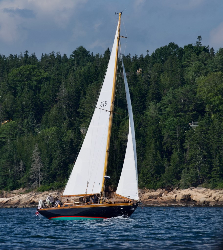
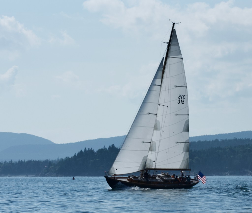
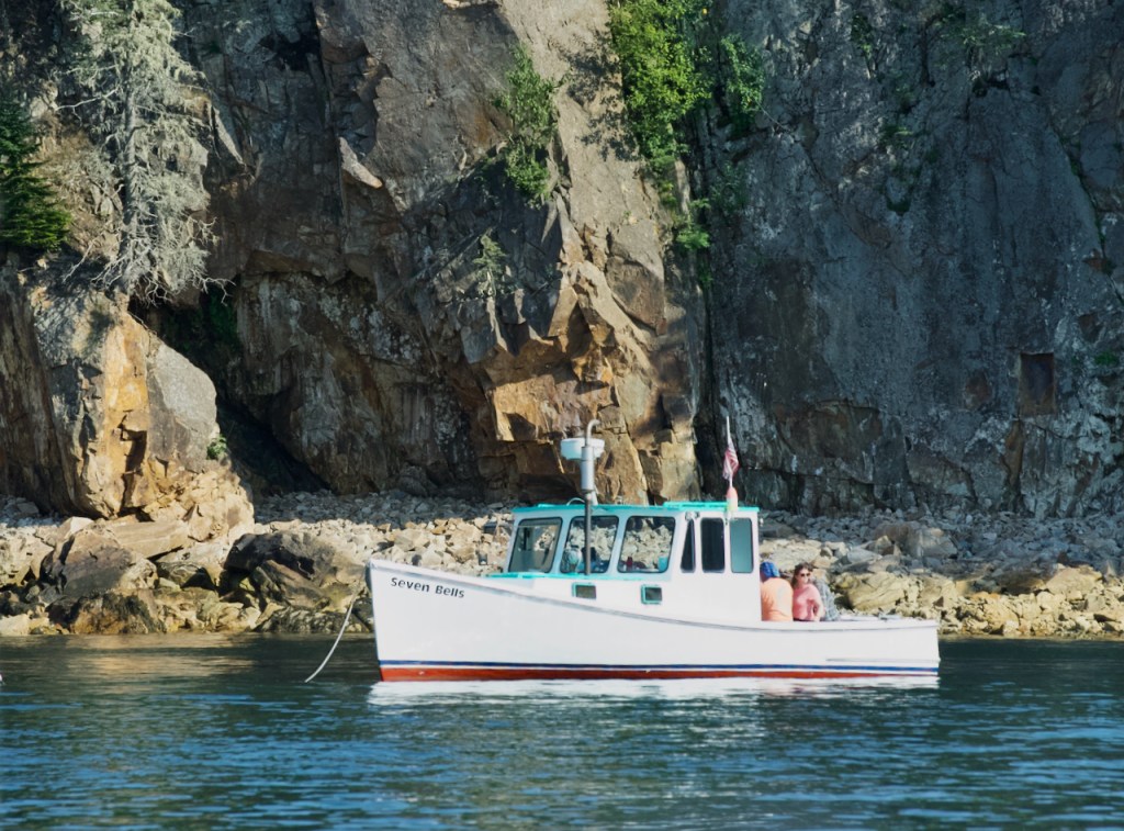
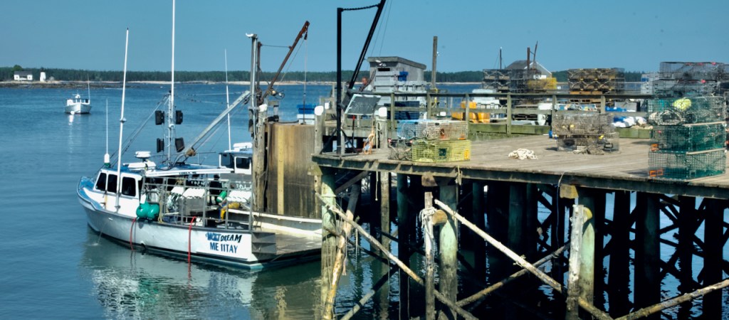
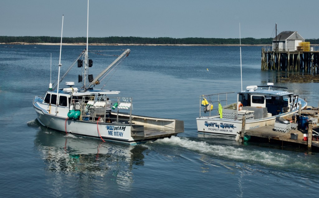
Then I traveled further south to Southwest Harbor and Manset Harbor a little further south. There are always a mixture of pleasure and sailboats mixed in with the working lobster boats. One pier was loaded with many lobster traps with their colorful buoys to denote ownership of the traps.


At the very end of Southwest Harbor is the very famous Bass Harbor Lighthouse. The parking lot could hold only about 25 cars so you had to wait until someone left before you could enter. Then there is a steep stairway and finally rock scrambling to get a view of the lighthouse. I was not very sure of my footing so with the help of a walking stick I dared to go out on the uneven rocks only so far. I would have had a better view if I could have gotten out further on the rocks. I have many photos but they are all much the same. Then topside you get the more traditional view.


On the way back north I stopped at Bartletts Landing, a small harbor on the west side which is supposed to be a good sunset spot. However, not much color materialized.


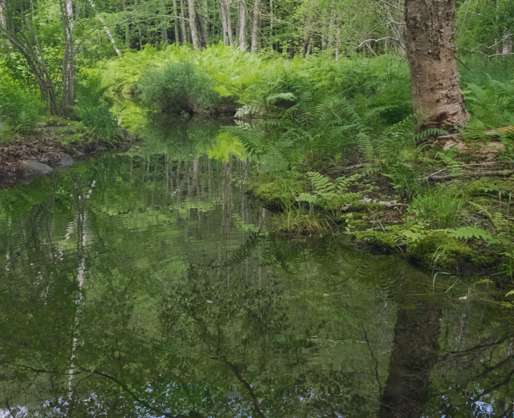
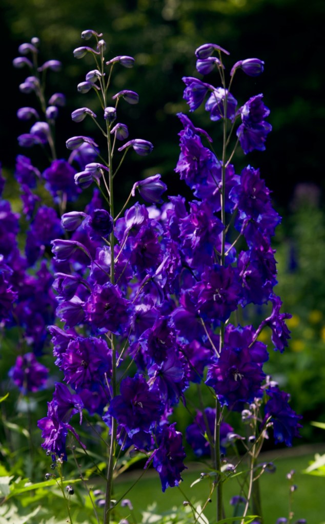
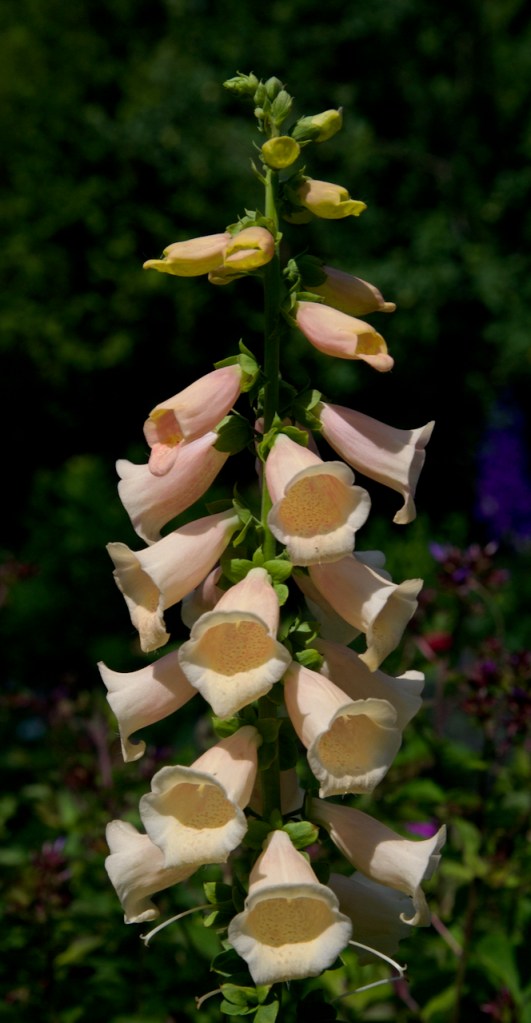
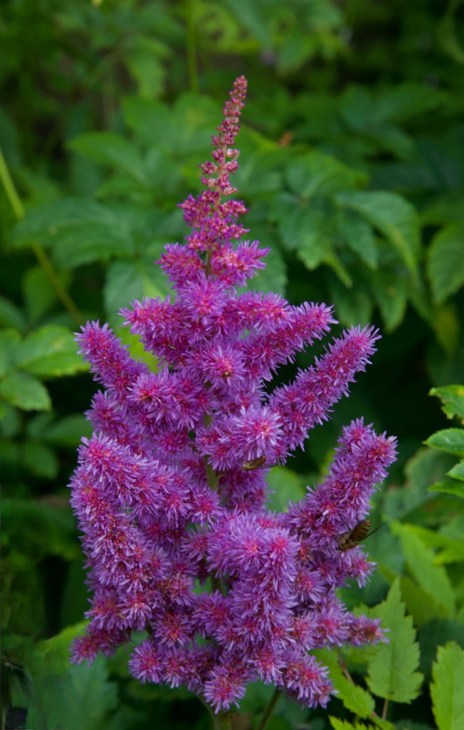
The next day, I concentrated on the east side of Acadia. The first stop is in the nature gardens with native plants in various habitats. The first photo is of a “pitcher” plant, which is carnivorous, which means that it gets some nutrients from insects and bugs that fall into the long trumpets.


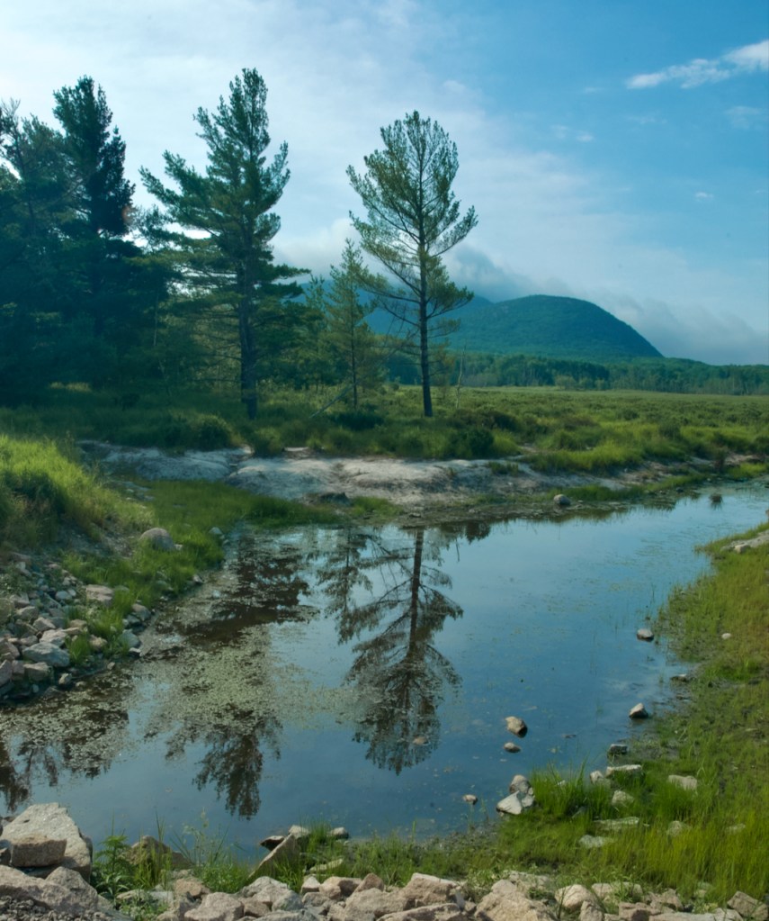
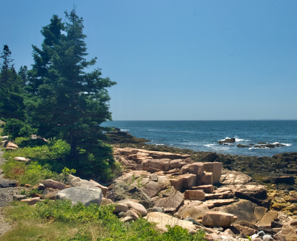
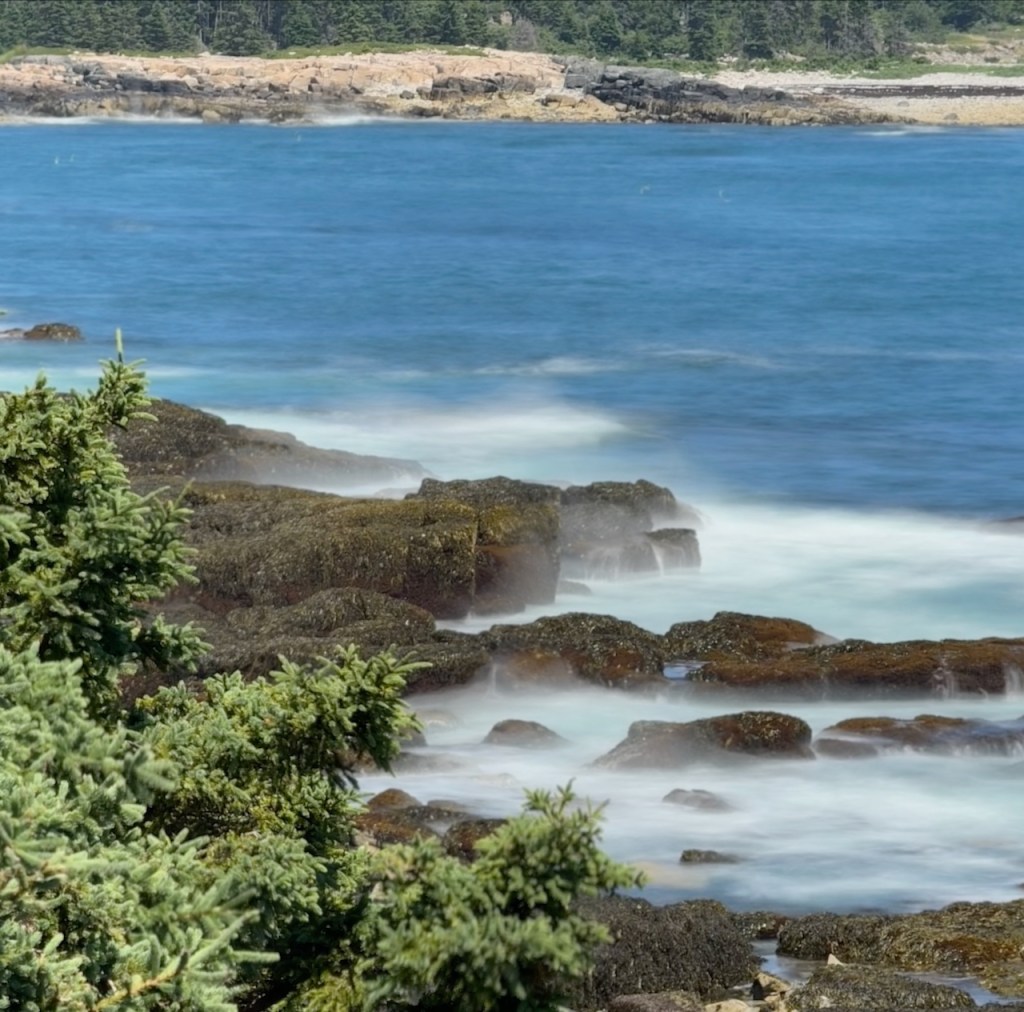
The next series of photos are from the fairly long drive down the east side of Acadia NP. I chose to go down the park loop road which is two lane one way. They allow you to park on the roadway and there are quite a few parking lots along the way as well. This section of the park is the most popular and crowded and also has a trail along the top of the cliff.
The first part of the drive had some nice areas of fog which in the right proportion makes for some wonderful photos.

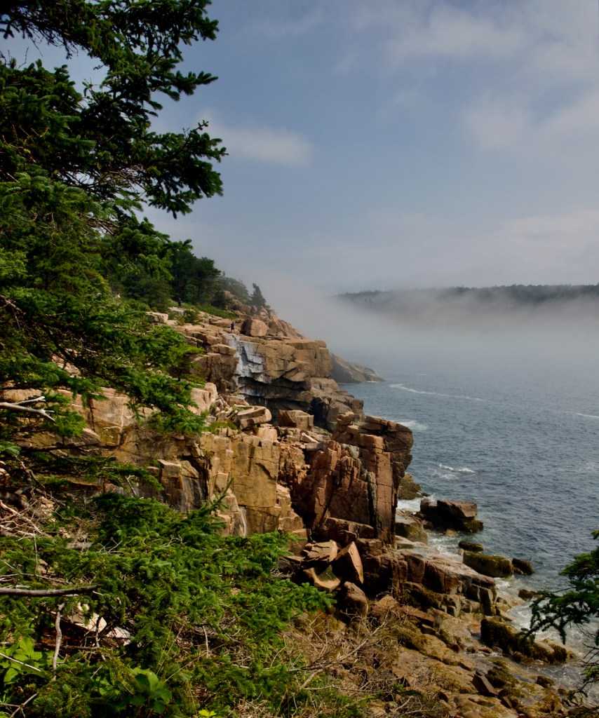


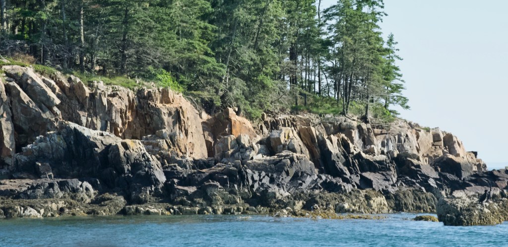
The coast line is all fairly high rocky cliffs. You can get to the ocean if you climb down stairs to Sand Beach which I did not do.


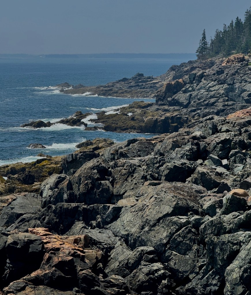
I have many photos such as these, but you get the idea of the landscape. As I continue driving, I round what is known as Otter Point and look across Otter Cove.

Eventually, I ended up in Northeast Harbor for lunch.

At this time I decided to book a ride on a tour boat, but had time to visit the Thuya Garden which was difficult to find and had a single lane road in and out. Luckily I did not meet any other cars.

The next series of photos are taken from the tour boat around Northeast Harbor.


It’s not a very good photo but we saw an Osprey dive and catch a fish. A little while later we could see the nest, but photos were too far away and blurry.

The next two photos show how I make a creative photos using several layers of photos. I missed the man lowering a lobster trap so I added one. It didn’t win any honors at the camera club.


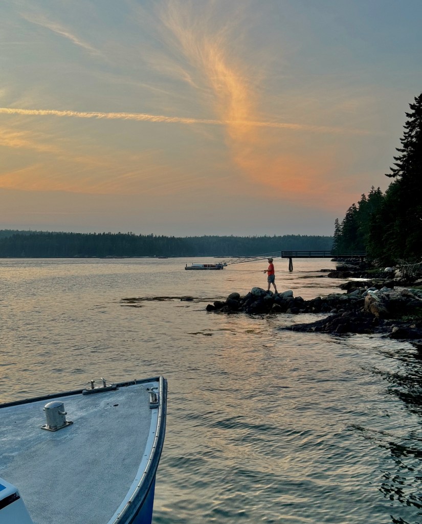
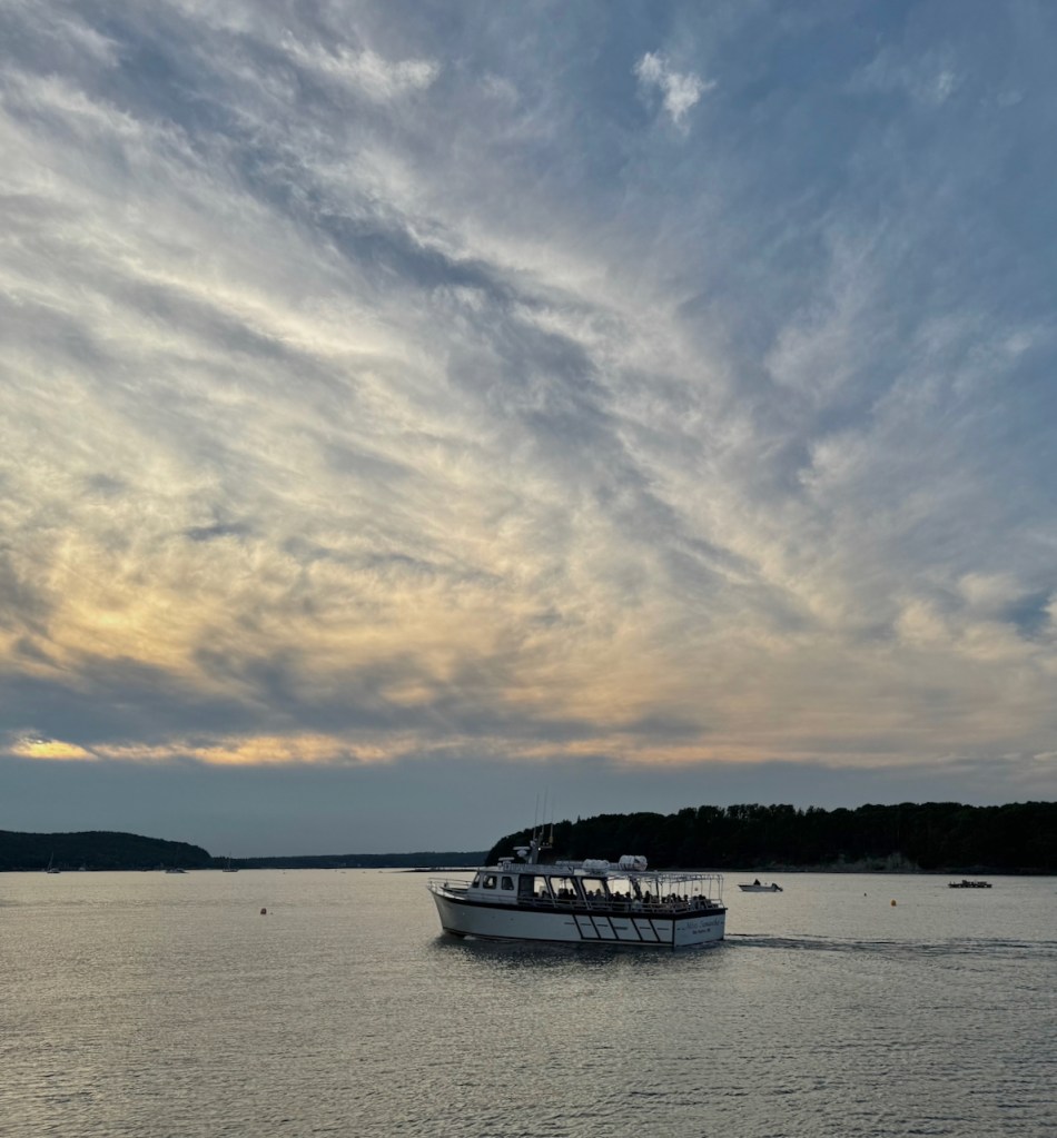
That night I ended up in Bar Harbor which is absolutely very crowded. On the drive into town, the street must have stretched for a mile and was parked full of cars, and they even had to pay to park. I drove right along and out onto the pier, and lo and behold, there was an empty parking space just waiting for me! So I had some ice cream and waited for the sunset.


The third and final day, I had to go back to the center of the park for a couple places I had missed. The main place is Jorden pond with views of the glacially carved Bubble hills in the distance.


I found that I liked some of the colorful moss growing on the trees above.
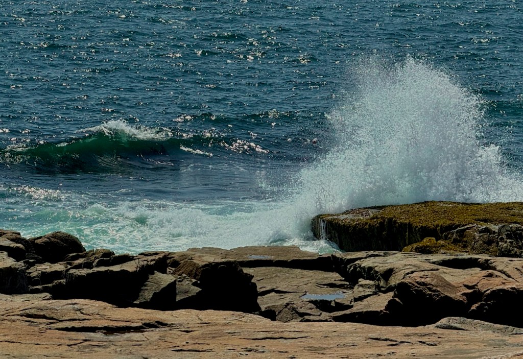
Finally, enough of the crowds, and I drove over to the Schoodic Peninsula. This is a much less visited part of the park with the same rocky shorelines.


At the end of the peninsula, the main event is big splashes of water against the rocks.


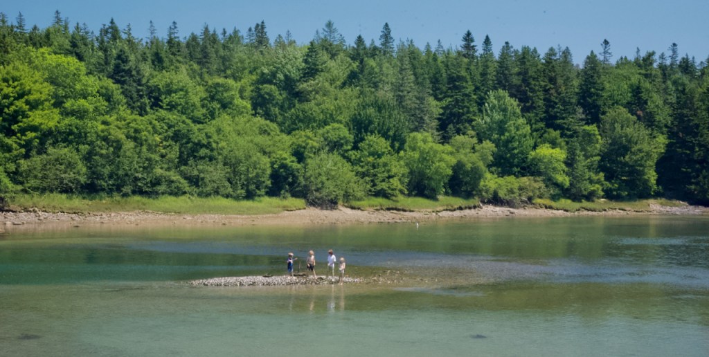
And finally there are always small harbors and fishing villages to photograph. The last one was Prospect Harbor.

I hope that you have enjoyed sharing my summer adventure as much as I did.


I actually recognize some of those spots as ones that we visited last, especially Acadia Natl. Park.
Charles, your pictures are stunning! Such amazing examples of God’s glorious creation!! – Pam